13 KIMBALL ST
Owner Information
GILLEN, JOSEPH T. & MARY TERESA TRS
13 KIMBALL ST
NEEDHAM, MA 02492


Property Details
13 KIMBALL ST is classified as a Single Family Residential (Os).
The primary structure on this property was built in 1909. There are 712ft2 of built area within this property. There is 1,424ft2 of residential/living space within this property. This property is listed as having 7 rooms.
13 KIMBALL ST is valued at $610,100. The land is valued at $442,000 and the structures are valued at $168,100. There is an additional valuation of $9,690 on this property.
This property is in Zone SRB. Confirm with local Zoning Board authorities to ensure there are no overlays or other easements on this property.
The most recent deed for 13 KIMBALL ST is recorded at the local registrar in Book 32061, Page 356. 13 KIMBALL ST was last sold on Thursday, February 6, 2014 for $1.
Assessment data from fiscal year 2022.
Flood Data
According to the FEMA National Flood Hazard Layer, this property does not appear to be in a flood zone. It may also be in an area not yet reviewed. Nonetheless, confirm this information prior to taking any action.
To view the flood hazards around this property, create a FEMA "Firmette" Map of the area around 13 KIMBALL ST.
Broadband Internet Providers
| Provider | Type | Bandwidth (mbps) | |
|---|---|---|---|
| Verizon New England Inc. | Fiber | 940 | 880 |
| Comcast | Cable | 1000 | 35 |
| Verizon New England Inc. | DSL | 7 | 0 |
| RCN | Cable | 500 | 20 |
| Viasat Inc | Satellite | 100 | 3 |
| RCN | Cable | 1000 | 20 |
| GCI Communication Corp. | Satellite | 0 | 0 |
| HughesNet | Satellite | 25 | 3 |
| VSAT Systems, LLC. | Satellite | 2 | 1 |
Broadband service provider data from December 2020.
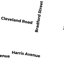
Adjacent Properties
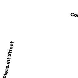
- 29 PLEASANT ST
Single Family Residential owned by PARKER, THOMAS C - 240 WARREN ST
Single Family Residential owned by COSTELLO, WILLIAM G. & COSTELLO, SARAH V., TRS - 248 WARREN ST
Single Family Residential owned by RUTH, RONALD W. + - 41 PLEASANT ST
Single Family Residential owned by KLENCHESKI, GARY & - 37 PLEASANT ST
Single Family Residential owned by FRANCIS, KEVIN &